Walk the property as a connected place
Choose a safe day outside any active fire emergency. Start at the property entrance and look outward before focusing on the house. Note adjacent vegetation, nearby buildings, overhead services, access constraints and the direction of rising ground. Ownership boundaries are important for permissions, but they are not barriers to windborne embers. A woodland outside your control can remain relevant even after careful work inside the fence.
Make a simple plan showing north, structures, roads, slopes, vegetation groups and places where debris accumulates. Distinguish observations from assumptions. “Leaves collect here after wind” is an observation; “this corner is safe” is a conclusion that your sketch cannot establish. Use dated photographs from repeatable viewpoints, and avoid entering neighboring land without permission.
Put terrain beside the fuels
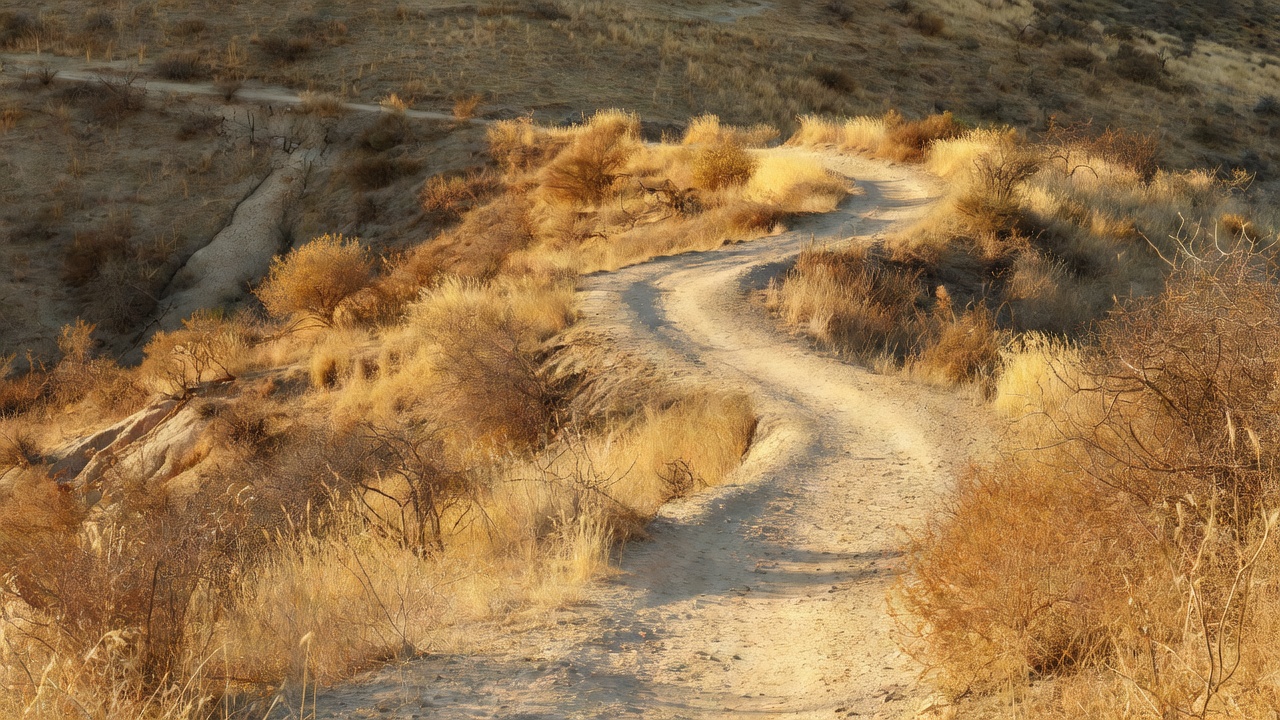
Fire behavior can be influenced by slope because flames and heat can preheat vegetation above them. Wind, fuel conditions and landform interact, so slope alone is not a reliable prediction. Mark steep sections, gullies, ridgelines and the position of buildings relative to them. A specialist may recommend different treatment arrangements for the uphill and downhill sides of the same structure.
Do not turn a general defensible-space illustration into a universal measurement. Requirements vary with jurisdiction, slope, vegetation, property boundaries and the building involved. CAL FIRE guidance is relevant in California; New South Wales Rural Fire Service guidance applies within a different planning and ecological context. Neither automatically supplies a compliant layout for a site in another country.
Record exposure without forecasting a fire
Local weather information can help explain recurring hot, dry winds and seasonal changes. Your own observations may show where leaves drift, branches rub a roof or irrigation repeatedly fails. Record those patterns, but do not infer that a sheltered garden will stay sheltered in a wildfire. Severe conditions can differ from everyday experience, and embers can cross treated areas.
Include nearby structures in this review. Buildings, sheds, fences and stored materials can contribute combustible connections that a vegetation-only survey misses. Ask your local authority which hazard maps, planning overlays and public information are appropriate for your address. A map is a starting point, not a substitute for inspection or an evacuation instruction.
Review each layer together. This sequence does not assign a hazard category or prescribe clearance distances.
Treat access as part of the landscape
An attractive drive can become difficult to use when mature branches, gates, parked vehicles or stored equipment narrow the approach. Record pinch points, surface condition, turning arrangements and the visibility of the property identification. Ask the responsible fire service about access requirements rather than estimating what an emergency vehicle could negotiate. Do not assume that adequate access means responders will be available or able to defend a home.
Keep evacuation planning separate from property-defense ambitions. Identify official warning channels and follow local instructions about leaving early. Landscaping work should never delay departure during a threatening incident. Ready.gov and local emergency agencies offer planning resources, but routes and triggers must reflect your circumstances and current official advice.
Map the work you can actually maintain
Identify inaccessible gutters, steep banks, narrow spaces behind sheds and areas where debris returns quickly. These are design constraints, not merely future chores. A bed that requires frequent ladder access or awkward pruning may be less durable than a simpler arrangement with safe ground-level inspection. Consider mobility, contractor availability, water restrictions and seasonal absence from the property.
Also identify drainage, erosion, habitat and protected vegetation constraints before proposing removal. Bare soil on a steep slope can introduce a different hazard. Contact the relevant planning or environmental authority when work could affect protected trees, watercourses or neighboring land. The aim is coordinated risk reduction, not indiscriminate clearance.
Turn the sketch into a short brief
Finish with three lists: observations, unresolved questions and possible actions requiring advice. Prioritize obvious housekeeping that can be completed safely, then seek help for structural, ecological or steep-slope work. Ask a qualified adviser to explain the local rule behind any recommended distance or treatment. Keep the resulting decisions with your maintenance record so that later changes do not recreate a connection you deliberately removed.
Evidence to consult
- CAL FIRE — California defensible-space and preparedness information.
- NSW Rural Fire Service — bush fire planning and property preparedness.
- Ready.gov: Wildfires — household preparedness and evacuation planning.
- National Wildfire Coordinating Group — wildfire terminology and operational references.